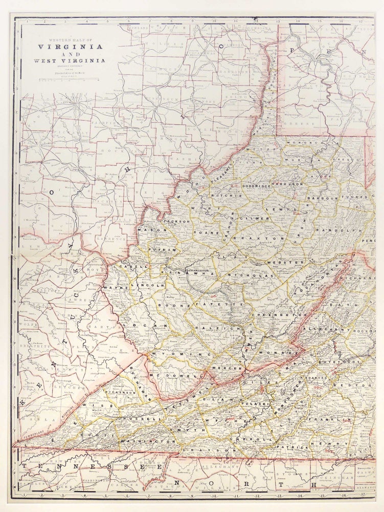
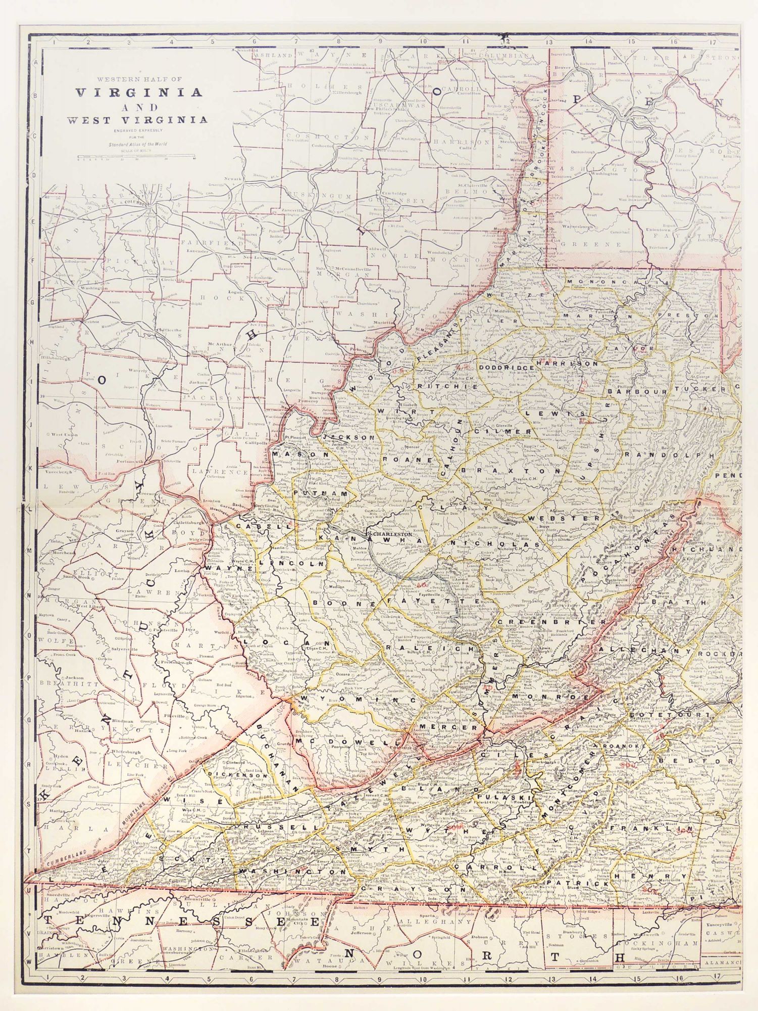
Map of Western Half of Virginia and West Virginia
New York: 1889. A leaf from Cram's Standard American Atlas of the World. This is a double page map with original outline color. Virtually all known railroads, finished and unfinished, Post Offices and Money Order Post Offices are indicated. Extensive county, city, township detail. Map measures 56 x 41 cm. or approximately 22.05 x 16.14 inches. Archivally matted. #54274. Near Fine.
Item #27288
Price: $185.00
See all items in
Maps
See all items by George F. Cram