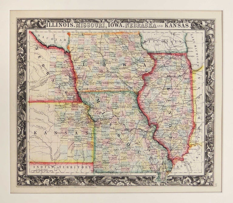
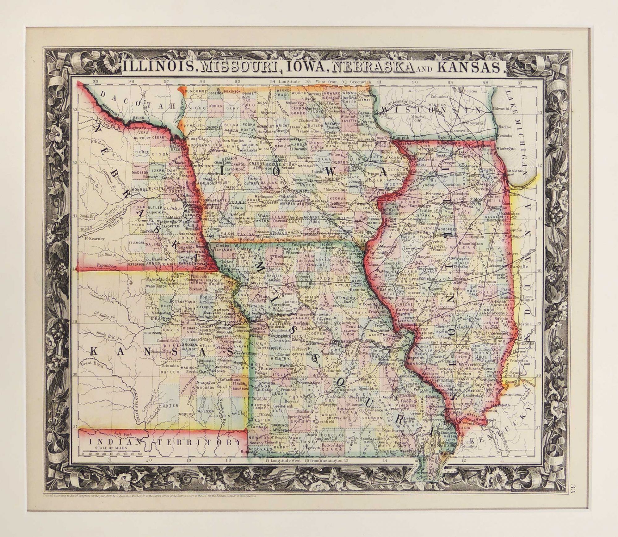
Map of Illinois, Missouri, Iowa, Nebraska and Kansas
Philadelphia: 1860. A leaf from Mitchell's New General Atlas, Containing Maps of the Various Counties of the World, Plans of Cities, Etc. Embraced in Forty-Seven Quarto Maps, Forming a Series of Sevety-Six Maps and Plans, Together with Valuable Statistical Tables. Full color by county. Kansas and Nebraska partially shown. Map measures 38.1 x 31.75 cm. or approximately 15 x 12.5 inches. Archivally matted. #53622. Near Fine.
Item #27283
Price: $185.00
See all items in
Maps
See all items by Samuel Augustus Mitchell