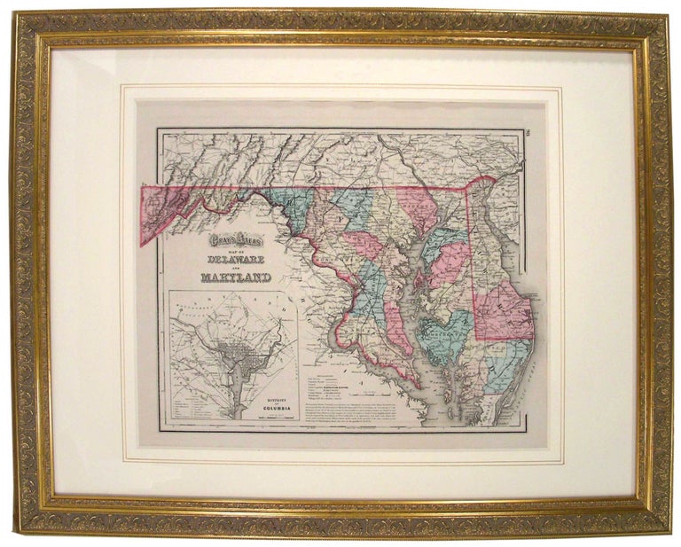
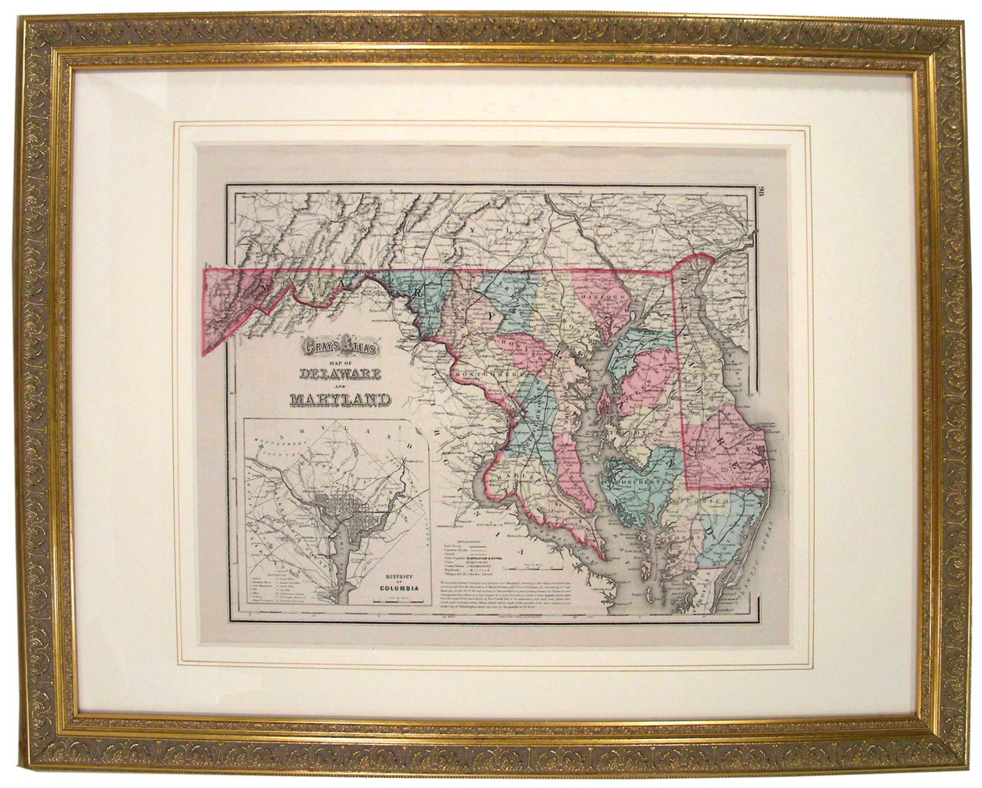
Gray's Atlas Map of Delaware and Maryland, 98
Philadelphia, PA: Stedman, Brown & Lyon, 1873. This map is from [O.W.] "Gray's Atlas of the United States with General Maps of the World, Philadelphia, Stedman, Brown & Lyon 1873." It is one of many variations of reprints variations of reprints from Colton's (1800-1893) original "General Atlas," that was printed from 1857 through 1888. Colton may have copied this map's format from Sidney E. Morse (1794-1871) and Samuel Breese' (1802-1873) 1845 version of "Maryland and Delaware. (with) District of Columbia." Later, Publisher, A.J. Johnson used Colton's format of this map in his 1860 edition of "Johnson's New Illustrated Family Atlas." Johnson did not use the famous "Colton" border, but rather created his own and substituted an engraving of the US capitol where the inset of Washington, D.C. was. Gray completely omitted any decorative border in this example; however, portions of the map extend out beyond the simple border to where the Colton and Johnson decorative borders would have been. The map is a steel engraving. Delaware and Maryland are divided into hand colored counties and cities, major roads, railroads, geographic details, and major bodies of water featuring the Chesapeake Bay, Potomac River, Delaware Bay, and the Atlantic Ocean. Inset in lower left corner presents "District of Columbia" with "references" identifying major sites by number and a "Scale of Miles." The reverse page contains "Gray's Atlas Map of New Jersey. 97." Fading on edge of page and two small tape markings on reverse. Size of Map: 30.2cm X 41.5cm (11 7/8" X 16 1 4") Framed. #45460. Near Fine.
Item #27078
Price: $625.00